Squam Lake Maps by Brad Washburn
Brad Washburn's Squam Lake Chart Work Plans from the 1960's
(from the archives at Squam Lakes Natural Science Center)
 Brad Washburn produced five editions of his Squam Lake Chart. The first, in 1936, was simply a tracing of a mosaic of vertical aerial photos taken in 1935 from an airplane flying at 10,000 feet. His 1948, 1954, and 1961 editions included refinements and a modest amount of new information. Later in the 1960's, while keeping up with his many responsibilities as Director of the Boston Museum of Science, he spent a tremendous amount of time surveying Squam Lake and the surrounding area in detail, building an extensive and extremely accurate three-dimensional database. He used this new information for the major upgrade (1968) to the Squam Lake Chart, and eventually for his map of the Squam Range in 1973.
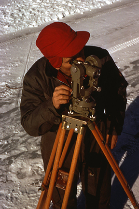
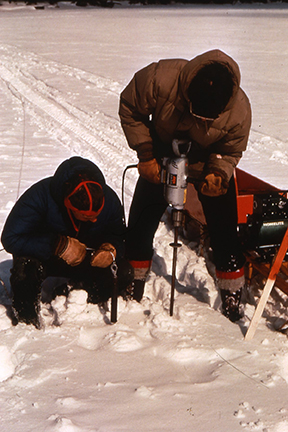
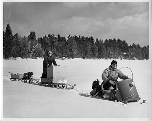
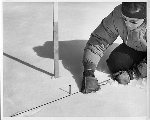
In addition to huge improvements in accuracy, Brad's 1968 edition of the lake chart featured contour lines on the land surrounding the lake and a 300-foot grid of depth soundings, 99% of which were taken in the winter by drilling holes in the ice. For this Herculean task of drilling over 3,000 holes and taking soundings, Brad was assisted by members of his family and local volunteers including Peter Hodges, Malcolm “Tink” Taylor, Lloyd Perkins, Dave Little, Elbeon Ricker, Leslie Ricker, and Dick Hodges.
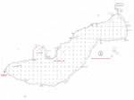
Little Squam Lake
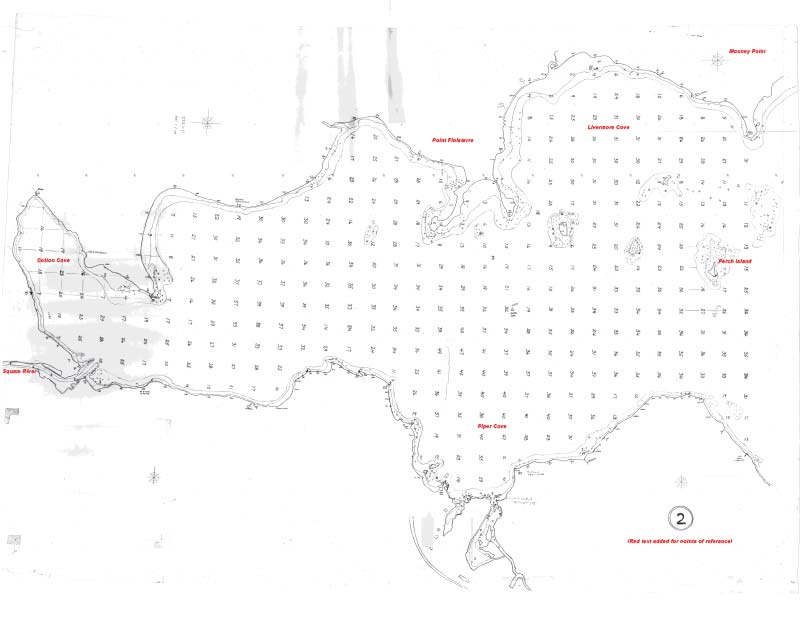
Cotton Cove to Perch Island
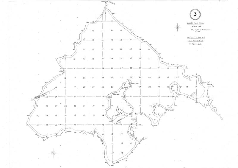
White Oak Pond
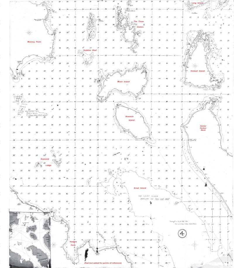
Centered on Moon and Bowman Islands
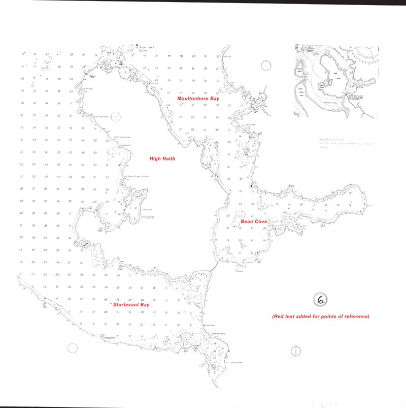
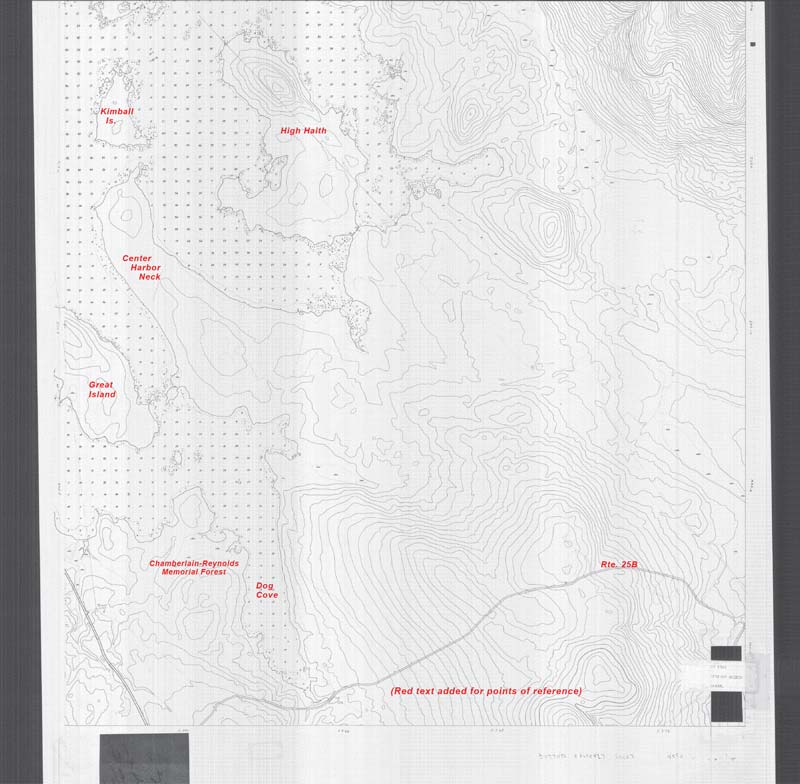
High Haith, Sturtevant Bay, Bean Cove
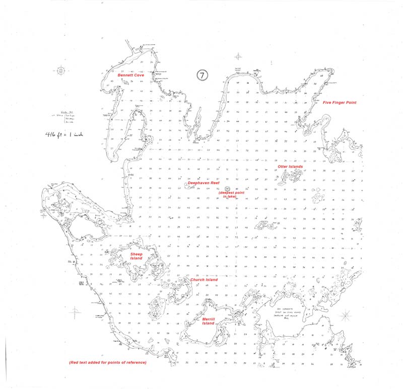
Merrill Island North to Bennett Cove East to 5-Finger Point
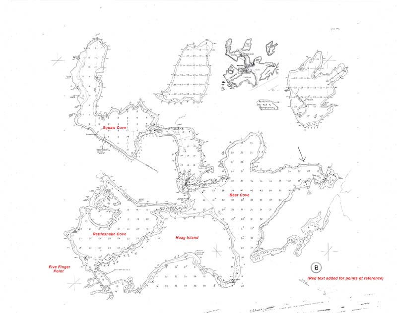
Hoag Island to Squaw Cove
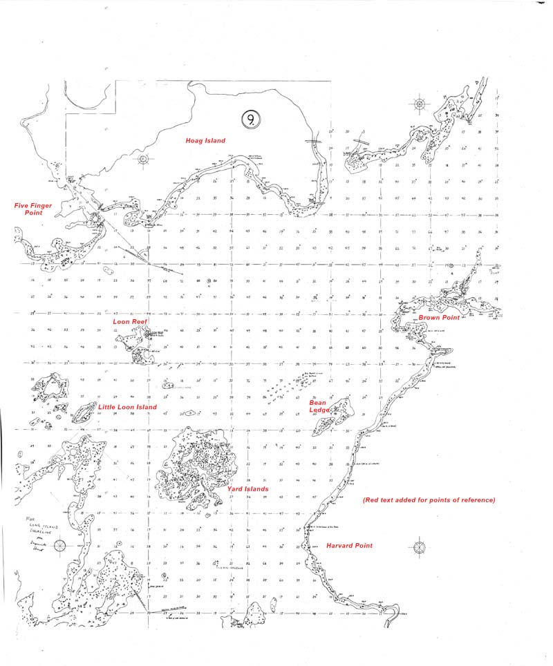
Yard Islands to Hoag Island
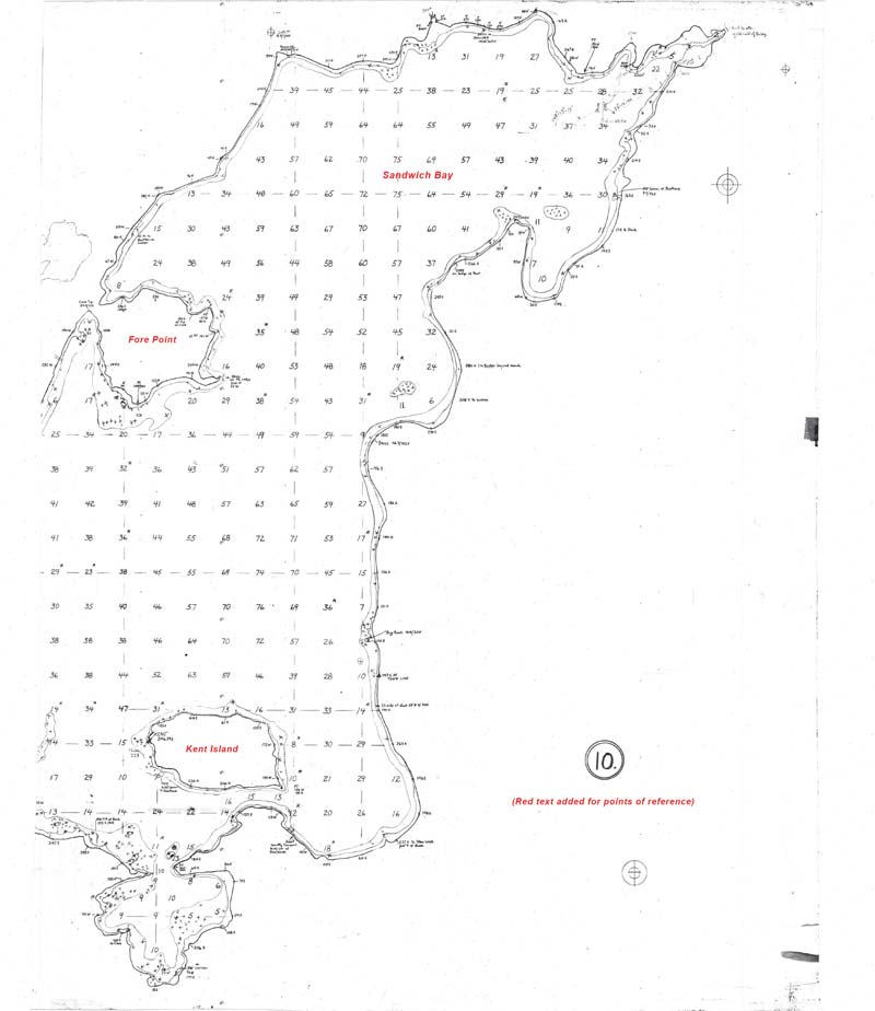
Sandwich Bay
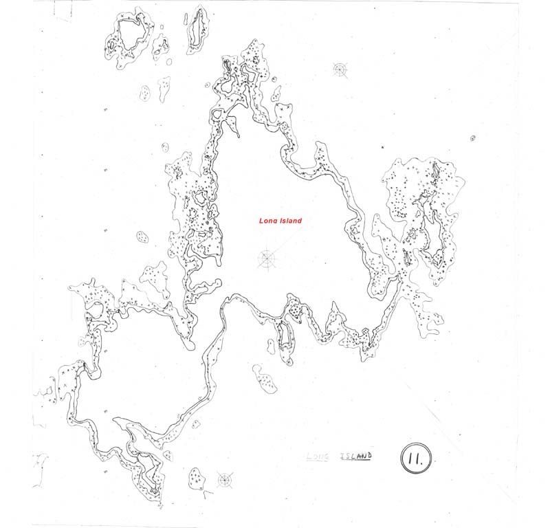
Long Island Shoreline Detail
Long Island Shoreline Detail
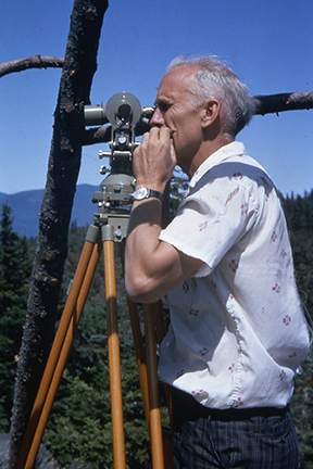
Photos